Американское сообщество Map@Syst запускает цикл вебинаров по дистанционному зондированию для преподавателей, где от простого к сложному будет рассказываться о работе с космическими снимками в среде ArcGIS.
Дистанционное зондирование Земли обязательная часть в учебном процессе по геоинформационным системам, но многие преподаватели испытывают трудности и недостаток информации в области ДЗЗ. Предлагаемый бесплатный цикл вебинаров призван сократить пробелы в знаниях по данной тематике.
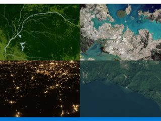
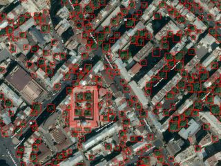
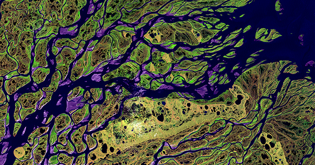
Первый вебинар посвящен поиску, выборке, загрузке и пониманию космических снимков миссии Landsat.
Вебинар пройдет 3 июня (среда). Ссылка на вебинар: https://virginiatech.webex.com/virginiatech/j.php?MTID=m9c072b24c2b306849fac4c2a6da7e581
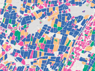
В качестве программного обеспечения будет использована геоинформационная платформа ArcGIS, которая внедрена в учебные лаборатории многих учебных заведений по всему миру, включая Россию и страны СНГ. ArcGIS позволяет быстро начать работу и с космическими снимками в привычном для ГИС- специалистов интерфейсе.
Вебинар проводится VirginiaView и Map@syst в партнерстве с Virginia Geospatial Extension Program. Это первый вебинар в серии “Дистанционное зондирование в среде ArcGIS”.
Следующие вебинары, которые проведет Map@syst:
Getting Started with StoryMaps
Monday, May 18, 2015 at 9:00 pm AST — Presented by Paula Lazrus, Shane Bradt
Summary:Have an interesting historical downtown that you want people to explore? Want to explore a social issue in a spatial context? Have story with a spatial component that would benefit from linking your content to geographic location? If you are looking to share your…
Selecting, Downloading, Displaying, and Understanding Landsat Imagery
Wednesday, June 3, 2015 at 5:30 pm AST — Presented by John McGee
Many educators are interested in offering introduction to remote sensing courses, but may not have access to specialized remote sensing software packages. These software packages are often expensive, and can be complicated to users who lack training and experience. ArcGIS…
Making the Most of Esri Image Services with ArcGIS for Desktop
Thursday, September 3, 2015 at 8:00 pm AST — Presented by Greg Bonynge
Esri image services are an increasingly common option for accessing raster data, such as orthophotographs and digital elevation models. This webinar will introduce you to the various image services available from the Rhode Island Digital Atlas. Along the way, we’ll share…
Displaying Landsat Imagery Using Band Combinations Using ArcGIS Desktop
Thursday, September 17, 2015 at 7:00 pm AST — Presented by John McGee
Many educators are interested in offering introduction to remote sensing courses, but may not have access to specialized remote sensing software packages. These software packages are often expensive, and can be complicated to users who lack training and experience. ArcGIS…
Subsetting and Enhancing Landsat Imagery Using ArcGIS Desktop
Thursday, October 15, 2015 at 7:00 pm AST — Presented by John McGee
Many educators are interested in offering introduction to remote sensing courses, but may not have access to specialized remote sensing software packages. These software packages are often expensive, and can be complicated to users who lack training and experience. …
Using ArcGIS 10.x to Analyze Landsat Imagery
Saturday, September 9, 2017 at 4:00 pm AST — Presented by John McGee
Many educators are interested in offering introduction to remote sensing courses, but may not have access to specialized remote sensing software packages. These software packages are often expensive, and can be complicated to users who lack training and experience. ArcGIS…
Полное описание доступно по ссылке: https://learn.extension.org/events/tag/geospatial%20technology?type=upcoming#.VUx9XpMsB1E